Project Details
Geocore' Kalule Lithium Project is a globally significant development opportunity. The project is located in Grand Katanga region od DRC near Kolwezi & Likasi. Initial exploration and sampling results have shown very exciting Lithium pegmatites. Next exploration phases will confirm high potential of this deposit.
- Category Exploration & Resource
- Starting Date August 2020
-
Location
 Congo (the Democratic Republic of the)
- Rating
KALULE LITHIUM PROJECT
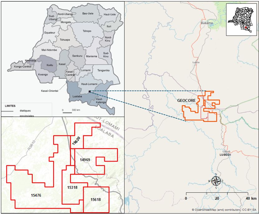
Geocore’ Kalule Lithium Project is a globally significant Lithium Mining development opportunity. The project is located in Lualaba Province of DRC – Democratic Republic of Congo situated on the N610 National Road connecting with Kolwezi. The project includes 5 exploration permits covering:
- Exploration Permit PR14969 (47 carrés)
- Exploration Permit PR15318 (34 carrés)
- Exploration Permit PR15476 (132 carrés)
- Exploration Permit PR15618 (36 carrés)
- Exploration Permit PR15620 (23 carrés)
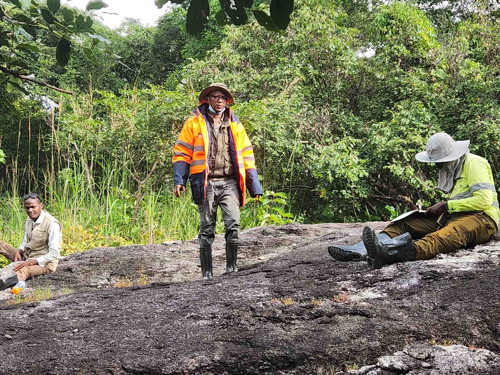
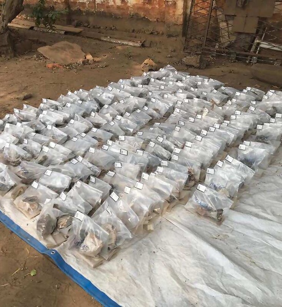
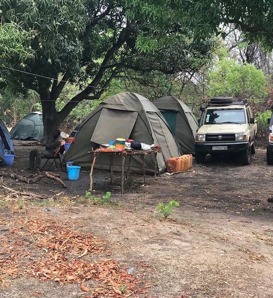
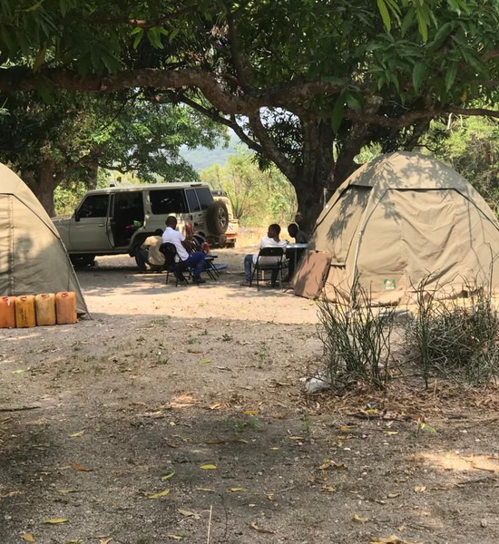
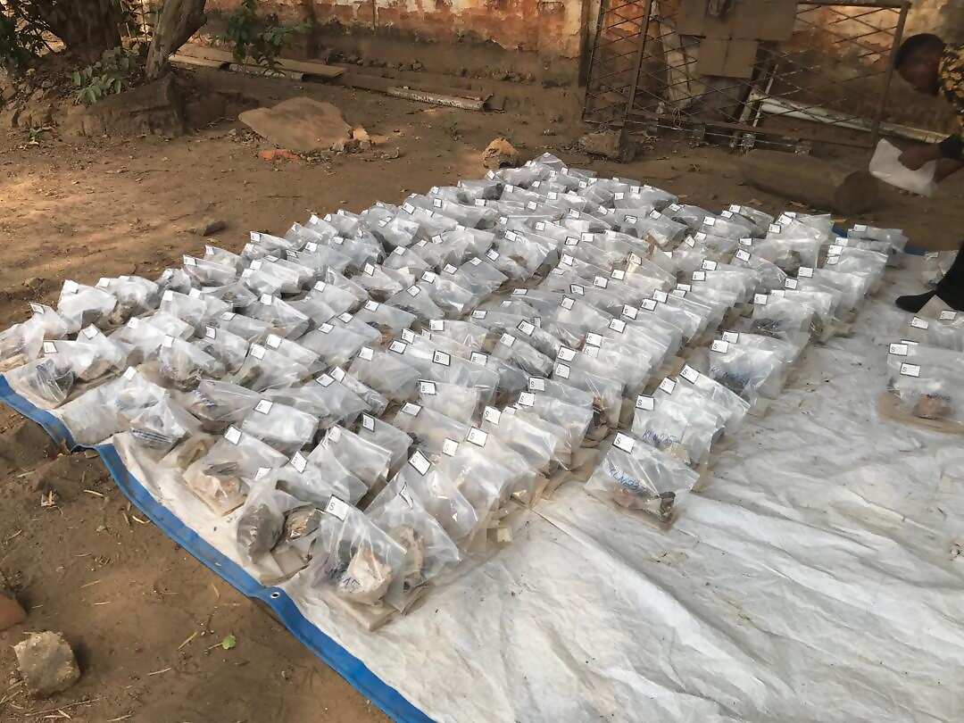
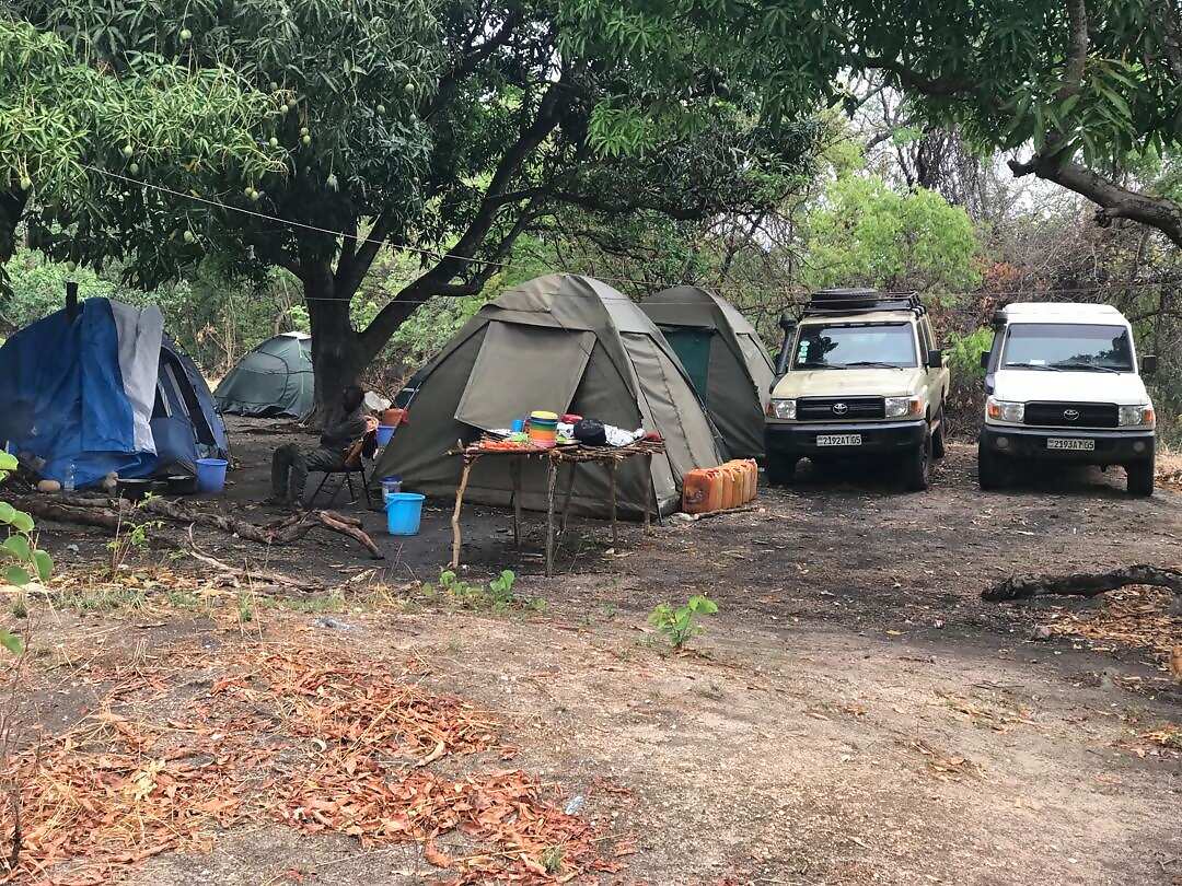
Exploration started in 2020 with Geological mapping and Geo-Chemistry including more than 500 samples analysed at ALS Australia confirming Lithium content in the range of 700 – 1000 ppm. The very positive results will lead to further drilling campaign & Samples analysis.
PROJECT MAP
PROJECT OVERVIEW
- Total area controlled: ~258.36 km² in the Congolese Copperbelt (CCB) and Kibaran Belt.
- Strategic location: Within 200 km of Likasi and 450 km NW of Lubumbashi.
- Good infrastructure and access conditions.
GEOLOGICAL SETTINGS
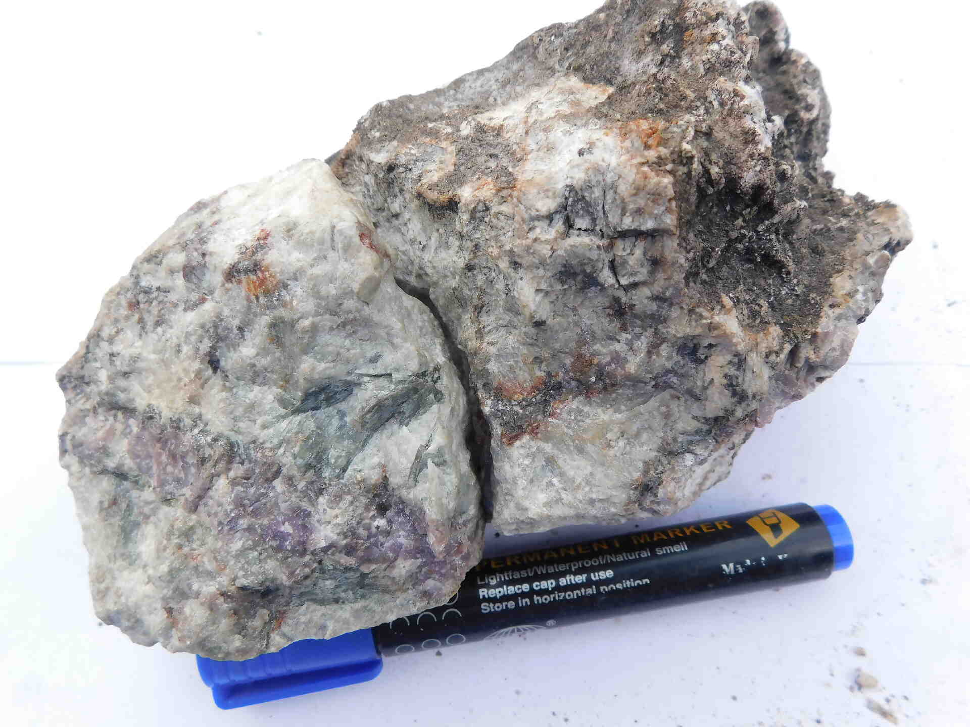
- Located in the Mesoproterozoic Kibaran Belt, similar to known deposits like Kitotolo-Manono.
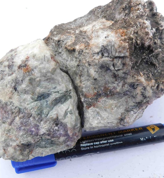
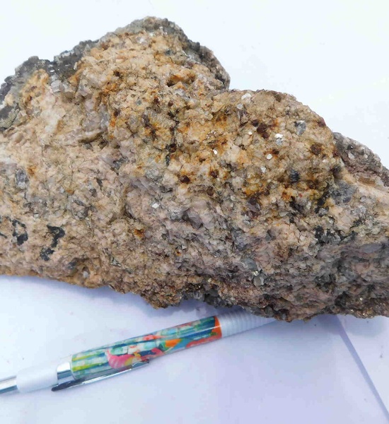
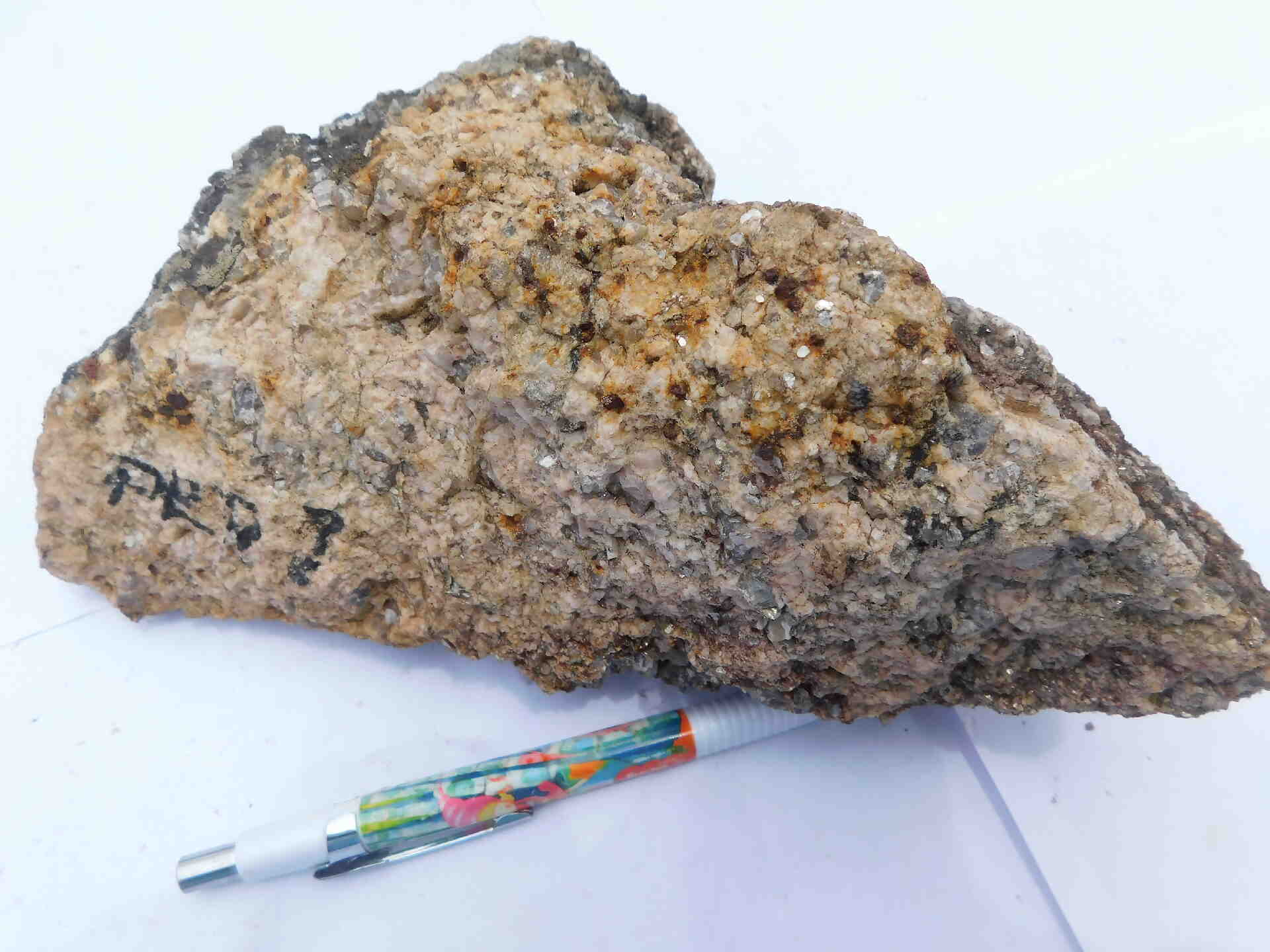
- Pegmatites intruding metasedimentary rocks (quartzite, gneiss, amphibolite).
- Greenfield project with numerous exploration licences around with ongoing exploration work.
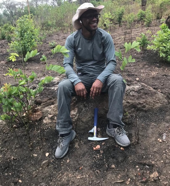
EXPLORATION WORK COMPLETED
- Step 1: Geological mapping at 1:10,000 scale, 750+ observation points, grab samples analyzed at ALS Chemex (South Africa).
- Step 2: Detailed mapping at 1:1,000 scale, 990 observation points, 290 samples analyzed at ALS Chemex (Australia).
- Step 3: Identification of pegmatite bodies trending SW–NE, extending up to 4 km long and 300 m wide.
KEY FINDINGS
- Lithium (Li) content: Up to 130 ppm in initial samples; later analyses show Li?O up to 750 ppm.
- Mg/Li ratio: <10 in fertile granites; spodumene pegmatites <1.0 (high economic potential).
- Associated elements: Nb, Ta, Rb, Cs – indicating potential for tantalum mineralization.
- Priority zones: Northern zone (highest potential), central zone, and southwest zone.
NEXT STEPS
- Reconnaissance drilling program to confirm lithium potential.
- Further detailed mapping and geochemical surveys.
- Focus on LCT pegmatite targets (Lithium-Cesium-Tantalum).